Stage routesJapan
Kumano Kodo Nakahechi: the Kii pilgrimage
Five days of shrines, cedar forest and onsen across the Kii peninsula.
What the Kumano Kodo is like
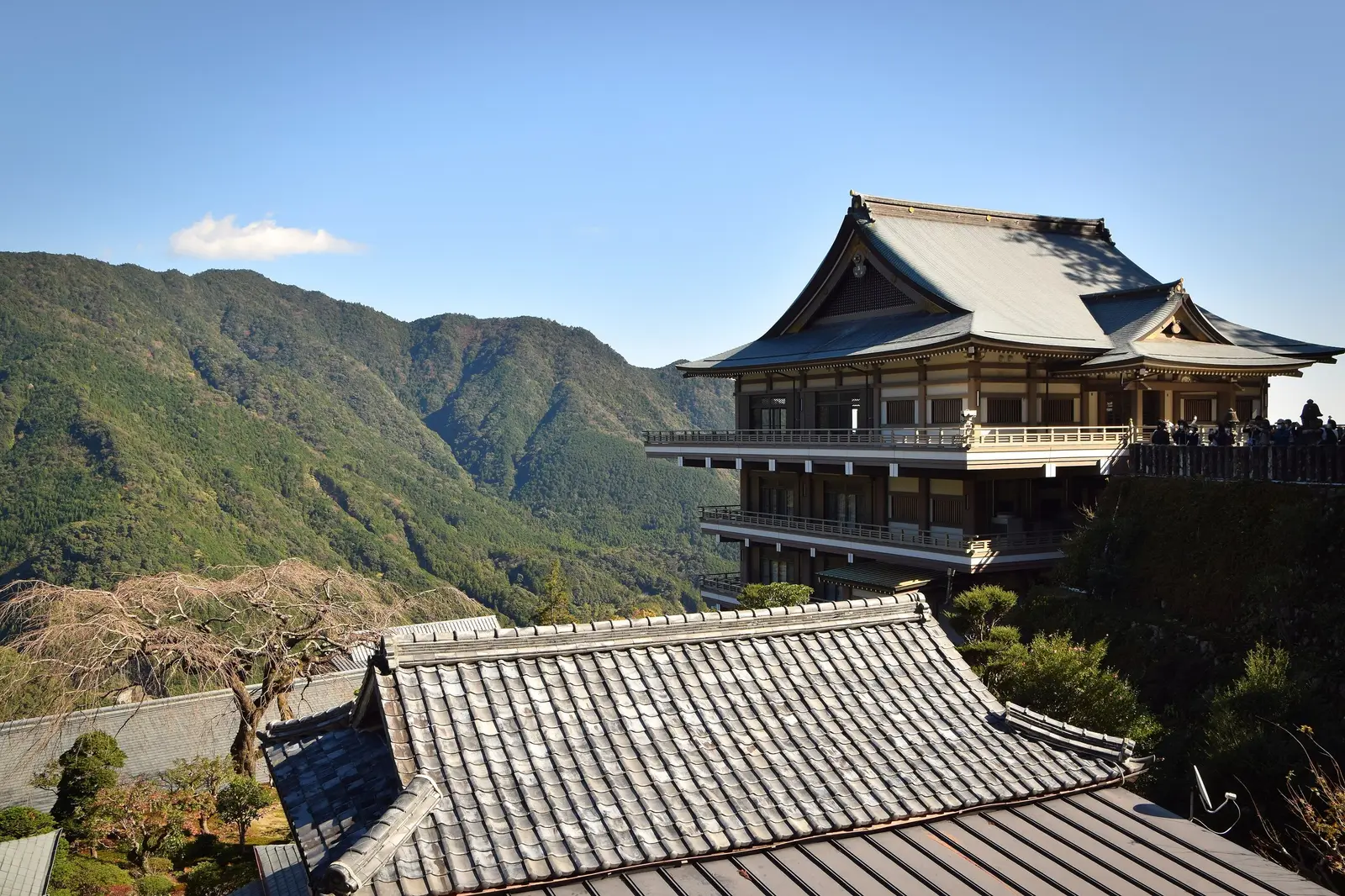
The Nakahechi is the classic variant of the pilgrimage linking the Kumano shrines on the Kii peninsula. It runs from Takijiri-oji to Hongu and Nachi through cedar forest, with stone steps and constant climbs: short days in kilometres, but tiring ones.
You sleep in village minshuku and ryokan with dinner and breakfast, and a night at Yunomine Onsen is one to remember.
Key facts
| Type | On foot |
|---|---|
| Distance | 67 km |
| Total climbing | 4,200 m |
| Start and finish | Takijiri-oji → Nachi Taisha |
| On foot | 5 days, 13 km a day on average |
| When to go | March to May and October to November. Summer is hot and humid, and June is the tsuyu rainy season. |
From where to where?
The whole route is 5 stages. Pick where you start and finish: always in a stage town.
Usual: 5 days.
Altitude of each stage town; each stage's climbing is in its details.
5 days, 67 km and 4,200 m of climbing: about 13.4 km a day and 4 nights on the way.
- Takijiri-oji → Takahara4 km · 400 m D+
- Takahara → Chikatsuyu10 km · 600 m D+
- Chikatsuyu → Hongu Taisha25 km · 1300 m D+
- Hongu → Koguchi13 km · 800 m D+
- Koguchi → Nachi Taisha15 km · 1100 m D+
Create your account and build Takijiri-oji to Nachi Taisha in 5 days.
It is free and takes a minute.
- Save the plan and pick up where you left off
- Carry it on your phone, map and times included
- Send it to your group with one link
- Download the itinerary and the calendar
How to plan it
It is five days from Takijiri to Nachi; at an easier pace, six or seven with an extra night and some bus sections, which let you return to the same inn for two nights. Koguchi to Nachi has no services all day.
Spring and autumn are the good seasons; summer is hot and humid and June is rainy. Beds per village are very few, so book accommodation before flights, and pay cash in the small villages.
Stages
- Takijiri-oji → Takahara4 km · +400 m
- Takahara → Chikatsuyu10 km · +600 m
- Chikatsuyu → Hongu Taisha25 km · +1,300 m
- Hongu → Koguchi13 km · +800 m
- Koguchi → Nachi Taisha15 km · +1,100 m
One stage a day, town to town. Approximate distance and climbing: every GPX varies a little.
Frequently asked questions
In Keago this route becomes a plan: one card per stage with time and duration, the daily track, each night's accommodation with link and location, the meals, and both travel tickets where the whole group can see them. Everyone confirms and you know who is missing.
Create your account and keep building your Kumano Kodo Nakahechi: the Kii pilgrimage plan.
It is free and takes a minute.
- Save the plan and pick up where you left off
- Carry it on your phone, map and times included
- Send it to your group with one link
- Download the itinerary and the calendar